We are Nuplan,
land and building surveying specialists

ESTABLISHED IN CORNWALL 2012

Nuplan Surveys has continuously combined modern methods with traditional values to provide a quality service to a wide range of clients across all business sectors.

We are Nuplan,
land and building surveying specialists

ESTABLISHED IN CORNWALL 2012

Nuplan Surveys has continuously combined modern methods with traditional values to provide a quality service to a wide range of clients across all business sectors.

SERVICES

Professional, expert & accurate services

Professional, expert & accurate services

Professional, expert & accurate services

Professional, expert & accurate services

Land and
Topographical

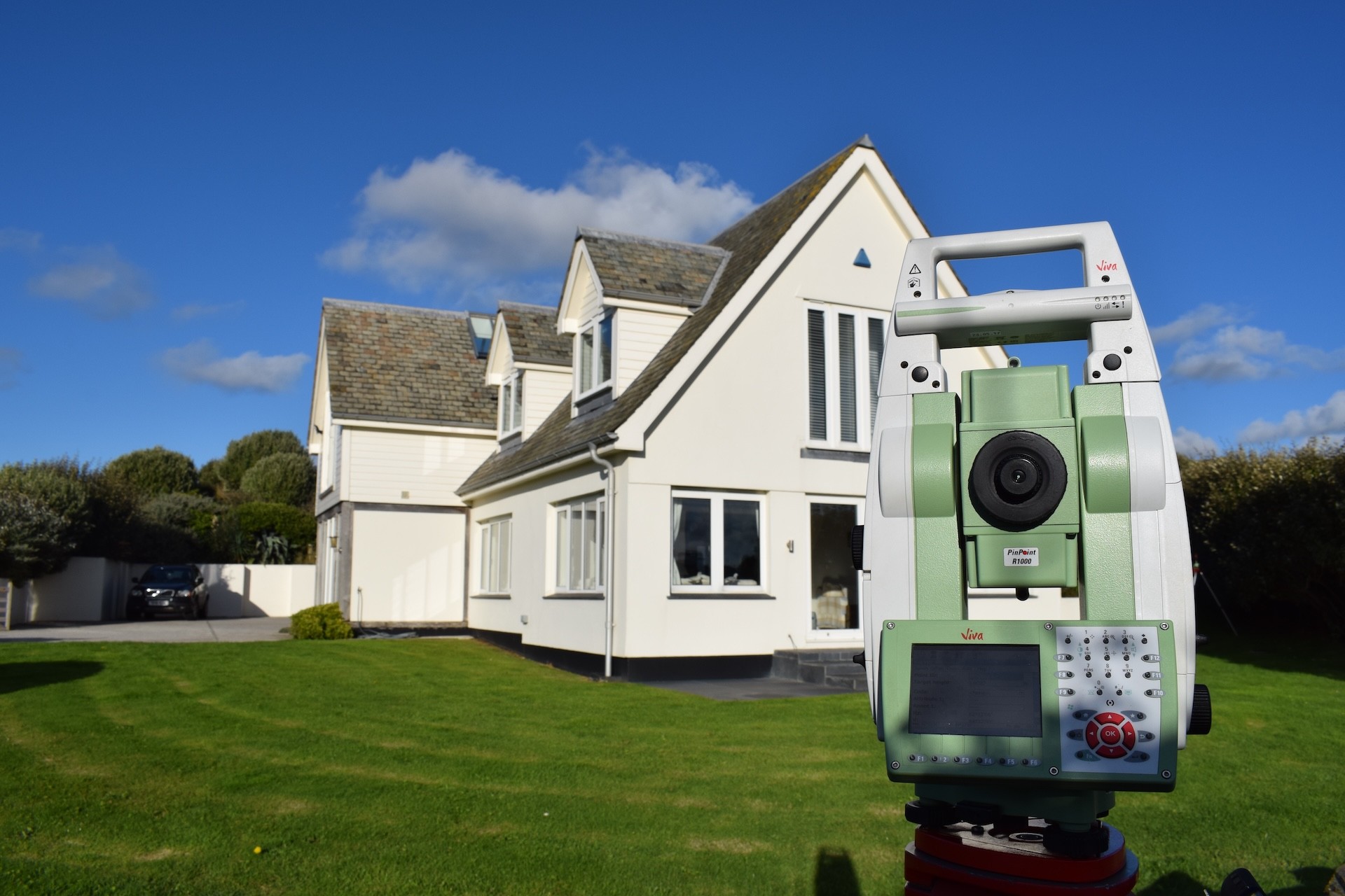
A topographical survey is typically commissioned for a range of uses and is undertaken to gather survey data about natural and man-made features, including heights, in order to produce a 2D/3D representation of the site.

Measured Building

Nuplan can provide the complete range of measured building survey services including Floor Plans, Elevations and Sections.

Area
Referencing

From city offices and mixed-use portfolios to industrial parks, shopping centres and high street retail schemes, Nuplan is committed to providing complete area referencing and measurement solutions.

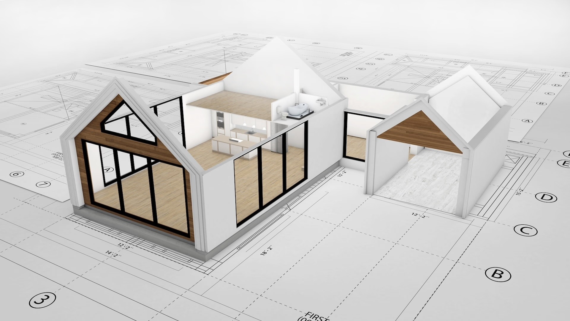
BIM and 3D Modelling

Building Information Modelling (BIM) is an intelligent 3D model-based process that equips architecture, engineering and construction professionals with the insight and tools to more efficiently plan, design, construct and manage buildings and infrastructure.

Land Registry and Boundry

Land Registry Plans-Nuplan can provide to scale plans, to be used in conveyancing that will satisfy all the criteria laid down by the Land Registry. Individual properties or plots of land can be accurately represented and demised, in order to represent clearly new or altered land / property parcels, in line with the Land Registration Act 2002.

Drone Services

Nuplan Surveys Ltd offer cutting-edge drone survey services to elevate the precision and efficiency of our land surveying projects across the UK. Our UAV (Unmanned Aerial Vehicle) technology allows us to capture high-resolution aerial imagery and detailed topographic data, making it ideal for a variety of applications.

TESTIMONIALS

Client Stories

Client Stories

Client Stories

Client Stories

We pride ourselves on our customers and the amazing reviews we receive from them

We pride ourselves on our customers and the amazing reviews we receive from them

ABOUT US

Professional Service

Professional Service

Professional Service

Professional Service

We aim to provide a prompt, professional and most importantly accurate service. Based on over 35 years of industry experience

We aim to provide a prompt, professional and most importantly accurate service. Based on over 35 years of industry experience

What We Offer

What We Offer

What We Offer

We aim to provide a prompt, professional and most importantly accurate service.

We aim to provide a prompt, professional and most importantly accurate service.

We aim to provide a prompt, professional and most importantly accurate service.

Based on over 35 years of industry experience utilising the most up to date of equipment, Nuplan can provide all of your measurement solutions. Owned and managed by Jamie Stephens TCInstCES we will strive to meet and exceed your expectations to create and develop strong working relationships with our clients.

Based on over 35 years of industry experience utilising the most up to date of equipment, Nuplan can provide all of your measurement solutions. Owned and managed by Jamie Stephens TCInstCES we will strive to meet and exceed your expectations to create and develop strong working relationships with our clients.

Based on over 35 years of industry experience utilising the most up to date of equipment, Nuplan can provide all of your measurement solutions. Owned and managed by Jamie Stephens TCInstCES we will strive to meet and exceed your expectations to create and develop strong working relationships with our clients.

We will work with you to achieve the right result

In an open, attentive & professional manner, combining our knowledge, experience and specialisms to deliver the best results for you.

We will work with you to achieve the right result

In an open, attentive & professional manner, combining our knowledge, experience and specialisms to deliver the best results for you.

We will work with you to achieve the right result

In an open, attentive & professional manner, combining our knowledge, experience and specialisms to deliver the best results for you.

We will work with you to achieve the right result

In an open, attentive & professional manner, combining our knowledge, experience and specialisms to deliver the best results for you.

FAQS

Still Have A Question?

Still Have A Question?

Still Have A Question?

01

What is a topographical land survey?

A topographical survey or land survey is an accurate representation of the area of interest showing all natural and man-made features with associated levels. Represented as three dimensional points, all features including the property, land features and physical boundary details are presented on a scaled survey drawing.

02

What survey technology do you use?

03

What format will be used to supply our survey data?

04

What are the benefits of undertaking a topographical survey?

05

What detail do you include in measured building surveys?

We're driven by quality & service

Based in Cornwall and offering a wide range of services to accommodate almost any need.

2 Church Street, Tywardreath, Par,

Cornwall. PL24 2QG

We're driven by quality & service

Based in Cornwall and offering a wide range of services to accommodate almost any need.

2 Church Street, Tywardreath, Par,

Cornwall. PL24 2QG

We're driven by quality & service

Based in Cornwall and offering a wide range of services to accommodate almost any need.

2 Church Street, Tywardreath, Par,

Cornwall. PL24 2QG

We're driven by quality & service

Based in Cornwall and offering a wide range of services to accommodate almost any need.

2 Church Street, Tywardreath, Par,

Cornwall. PL24 2QG